
Differences in the positioning of Hina dolls for Hinamatsuri
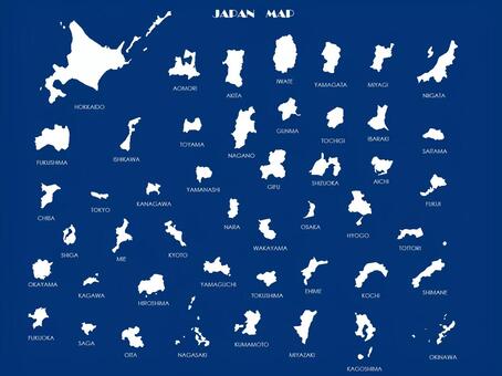
Map of Japan
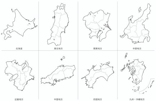
Blank map-Japan-Regional division set-Prefectural border line
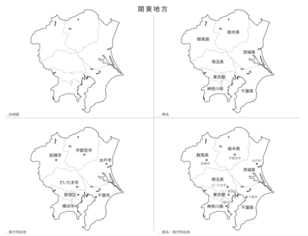
Blank Map-Japan-Kanto Region Set

Map of Japan
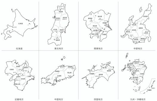
Blank map-Japan-Regional division-Prefecture name / prefectural office location
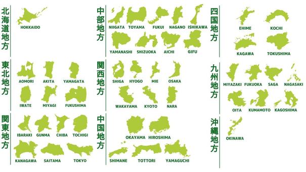
Silhouette of 47 prefectures by region
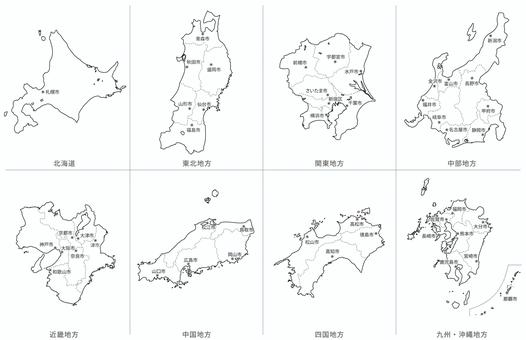
Blank Map-Japan-Regional Division Set-Prefectural Office Location
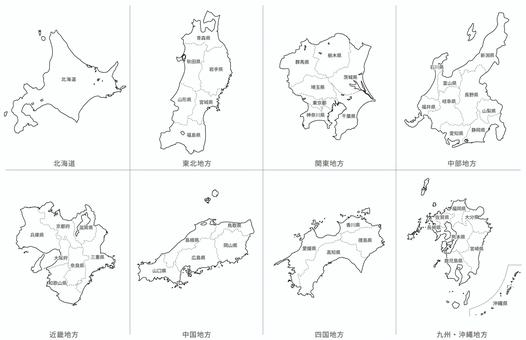
Blank map-Japan-Regional division set-Prefecture name entered
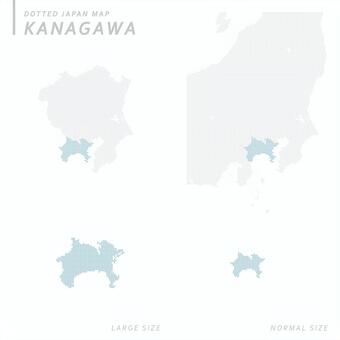
Dot map Kanagawa 1

Illustration set of various Japanese archipelago

Set of sakuramochi (Kansai, Kanto) and a plate

Sakuramochi (Kansai, Kanto) Set

Seal-style surname icons - 201st to 240th

Japan map ~ Regional division ~ Standard simple

Map of Japan Map of Japan Regional map

Map of Japan

Map of Japan layered by area

White background map Japan nationwide 【Can be divided into prefectural parts】

Map of Japan

Map of Japan

Map of Japan
![Japan map nationwide version [possible to divide prefecture parts], JPG, PNG and AI Japan map nationwide version [possible to divide prefecture parts], , JPG, PNG and AI](https://thumb.ac-illust.com/5f/5fd1218bd0d011030c9284a134b7469f_t.jpeg)
Japan map nationwide version [possible to divide prefecture parts]

Map of Japan (47 prefectures, by area)

Ozoni and snake
![Map nationwide version Japan [parts can be divided by prefecture], JPG, PNG and AI Map nationwide version Japan [parts can be divided by prefecture], , JPG, PNG and AI](https://thumb.ac-illust.com/32/32c5480ff40e60efe69606cd7952a536_t.jpeg)
Map nationwide version Japan [parts can be divided by prefecture]

日本地図 県境付き

Map Japan National version 【Can be divided into prefectural parts】

Map of Japan

Silhouette / Japan map

日本地図
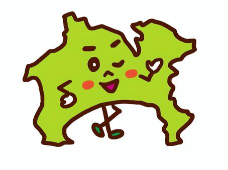
Kanagawa Prefecture

Map of Japan

Map of Japan

Yokohama

Map of Japan

日本地図アイコンセット1

Map of Japan

Map of Japan

日本地図

Saitama City

Map of Japan

Japan map by regions of the Japanese archipelago

Map of Japan

Sagamihara City

日本地図

Illustration of pop Japanese archipelago

Deformed illustration of the Japanese archipelago with lines

日本地図

日本地図

Color-coded colorful illustrations of the Japanese archipelago
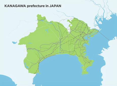
A simple green road route map of Kanagawa Prefecture
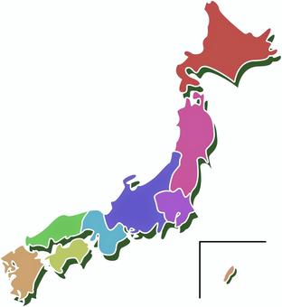
Color-coded colorful illustrations of the Japanese archipelago

Illustrations of the Japanese archipelago color-coded by region
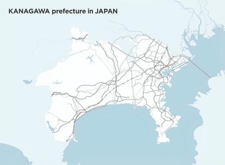
A simple road map of Kanagawa

Illustration of pop Japanese archipelago

A simple road map of Chiba Prefecture

Deformed illustrations of the pop Japanese archipelago

Illustration of the Japanese archipelago divided by region

Yokohama City Kanagawa Prefecture Prefectural Office Location Kanto Region

Deformed illustration of the Japanese archipelago with lines

Ibaraki Prefecture Color coding by region

Minimal Japan Map Icon: Green

Legumes cortados pacote Ding

Minimal Japan map icon: yellow green

Pop silhouette illustration of the Japanese archipelago

Minimal Japan Map Icon: White

Minimal Japan Map Icon: Red

Map of Japan

Minimal Japan Map Icon: Hinomaru

Nakiri Knife

Pixel map of Japan

Map of Japan

Japan map old map style
74 Vector clipart grátis sobre .
Precisa de vetor clip art? Encontre as melhores imagens gratuitas sobre .
Todos os clip-arts do vetor são gratuitos, mesmo para projetos comerciais.

 © 2011 - 2024 ACworks Co.,Ltd. Todos os direitos reservados.


